HT Bureau
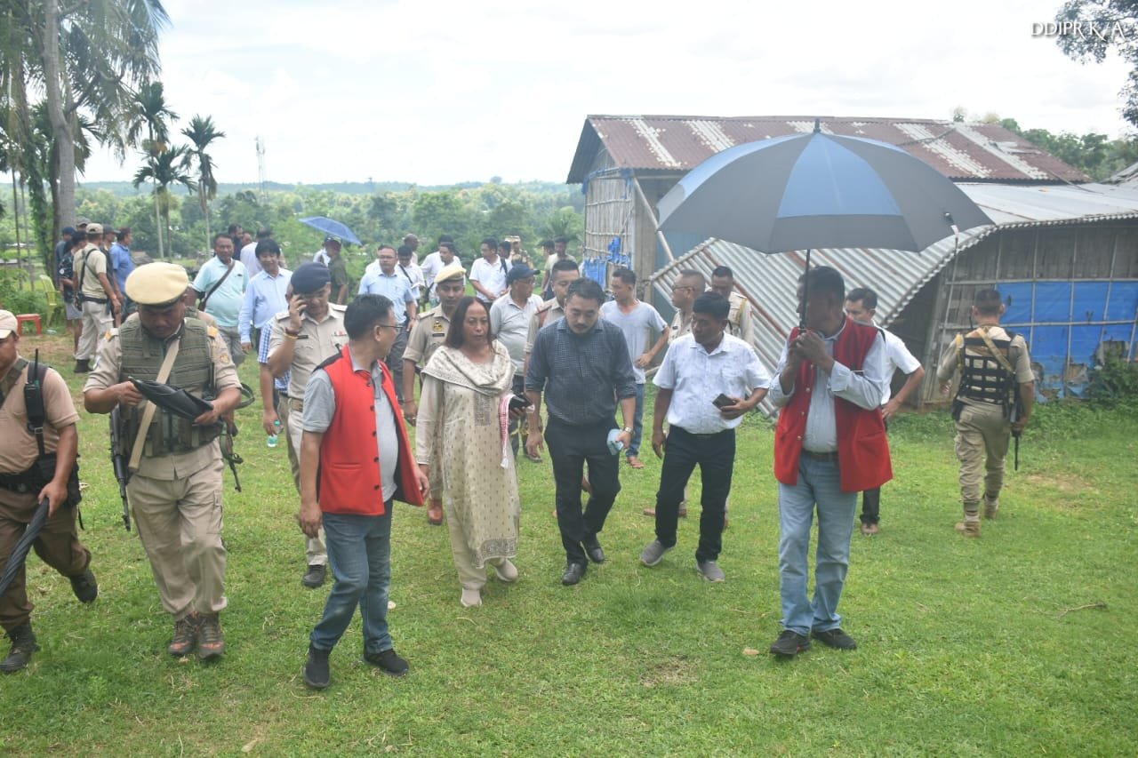
DIPHU, July 25: District commissioner of Karbi Anglong, Nirola Phangchopi, ACS, led a team from Karbi Anglong district, including the superintendent of police, secretaries of Karbi Anglong Autonomous Council (KAAC), director of Survey, KAAC; additional district commissioner, Magistrate, divisional forest officer, forest officer, and mandal to visit Rongaphar crossing on the Assam-Nagaland border on Wednesday.
The visit was prompted by complaints from border area villagers regarding the proposed construction of a Nagaland police camp on Assam land, where the villagers hold periodic land pattas. During the visit, both the Karbi Anglong and Dimapur administrations presented their respective border land maps at the site. The Dimapur administration referred to the Nagaland land survey, while the Karbi Anglong administration also presented the Survey of India map.
However, the Dimapur administration did not agree to the land demarcation as shown in the Survey of India map. Following a prolonged discussion, both parties agreed to hold a meeting at the office of the forest divisional officer of Nagaland in Dimapur to further address the issue. The meeting was held from 2:00 pm with the following officials in attendance from Dimapur: Deputy commissioner Dr Tinojungshi Chang, NCS; Mhalo Humtseo, NCS, ADC Dimapur; Yangthungbemo Kikon, NCS, SDO Civil Dimapur; Vineikho Tetso, NCS, revenue officer, Dimapur; Litsenthung Kikon, NCS, EAC, Dimapur along with other officials.
The Karbi Anglong administration and officials were also present. Deputy commissioner Dr Tinojungshi Chang welcomed the Karbi Anglong administration team and emphasised the importance of mutual understanding and cooperation to resolve the disputed area issue.
During the meeting, both sides discussed various incidents that have occurred in the border area and agreed that both police administrations should share reports and maintain proper communication to reduce such incidents. The meeting concluded with a decision to officially share border land maps between both administrations and to request final inspection of the border map by the Survey of India, Assam Survey, and Nagaland State Survey administrations.


