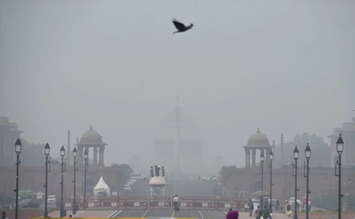
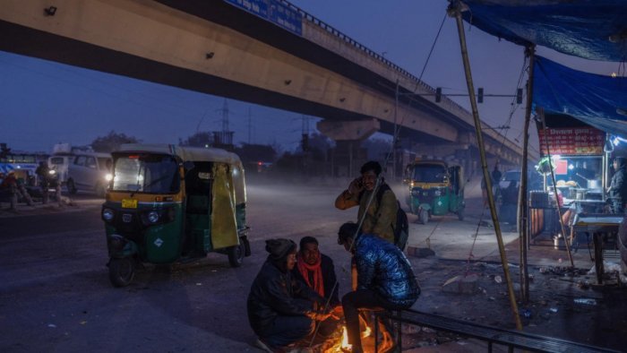
NEW DELHI, Jan 12: A layer of fog draped over the Indo-Gangetic plains and extended up to the northeast on Friday, bringing down visibility and affecting rail movement, officials said.
A spokesperson for the Railways said that fog impacted the schedule of “23 trains arriving in Delhi”.
Satellite imagery showed a layer of fog/low-level clouds over Punjab, Haryana, Delhi, Uttar Pradesh and Bihar, extending up to northeast India.
Patches of fog were also visible over Odisha.
The India Meteorological Department (IMD) said that visibility levels dropped to zero at Delhi’s Palam observatory near the Indira Gandhi International Airport.
One could see up to a distance of 200 meters at the Safdarjung Airport, an IMD official said.
Visibility levels plunged to 25 metres in Amritsar in Punjab and Lucknow and Varanasi in Uttar Pradesh; 50 metres in Chandigarh, Uttar Pradesh’s Bareilly, Bihar’s Purnia and Assam’s Tezpur; and 200 meters in Ambala in Haryana and Ganganagar in Rajasthan.
According to the IMD, very dense fog is when visibility is between 0 and 50 metres, between 51 and 200 metres is dense, between 201 and 500 metres moderate, and between 501 and 1,000 metres shallow.
The IMD on Thursday said dense to very dense fog is likely during morning hours in parts of northwest India over the next five days.
The northern plains got some relief on Wednesday and Thursday as the sun shone through the thinned layer of fog, but chilly winds kept the temperatures down.
Cold day to severe cold day conditions have been prevailing over many parts of north India since December 30-31.
A cold day is when the minimum temperature is less than or equal to 10 degrees Celsius and the maximum temperature is at least 4.5 notches below normal.
A severe cold day is when the maximum temperature is at least 6.5 notches below normal. (PTI)


