NEW DELHI, Oct 6: Among all the research conducted in the past about a potential glacial lake outburst flood-triggered disaster in Sikkim, one study done by the Central Water Commission in 2015 stands out as it clearly warned the state government that most of the hydropower projects on the Teesta river are highly vulnerable to such events.
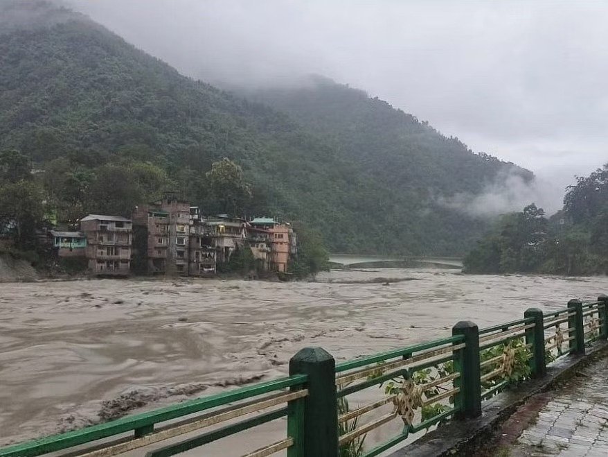
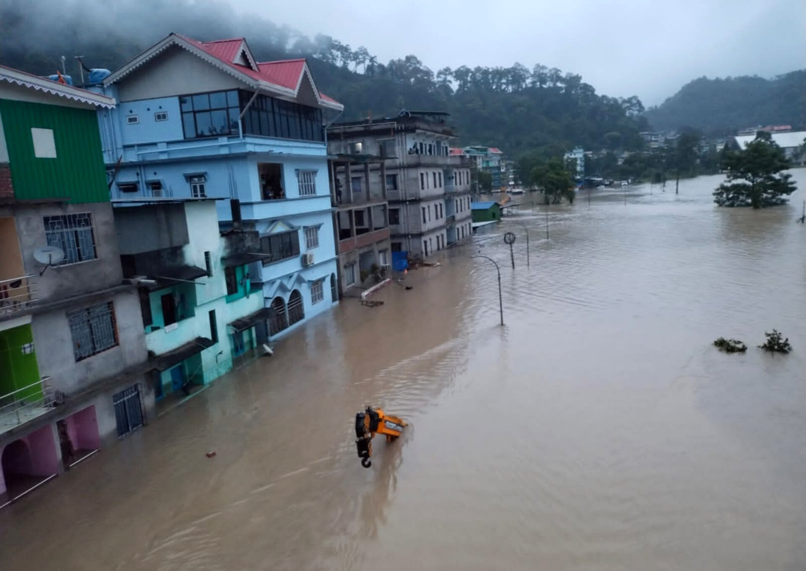
A GLOF occurred in parts of Lhonak Lake, leading to a rapid rise in water levels with very high velocities downstream along the Teesta River Basin in the early hours of October 4. This resulted in severe damage in Mangan, Gangtok, Pakyong and Namchi districts.
According to the Sikkim State Disaster Management Authority (SSDMA), at least 22 people, including seven army jawans, have been killed while 103 others are missing.
The incident also resulted in the breach of the Chungthang dam, a crucial component of the 1,200-megawatt (MW) Teesta Stage III Hydro Electric Project, the largest hydropower project in the state.
The CWC study, titled “Glacial Lake Outburst Flood–South Lhonak System in Teesta River Basin”, was taken up to analyse the impact of GLOF in vulnerable areas and the hydropower projects on the river.
CWC researchers noted that GLOFs in glacial lakes in the river basin could lead to severe flash floods downstream, impacting areas like Lachen, Chungthang, Dikchu, Singtam, Manipal, Rangpo, Bara Mungwa villages, and the entirety of hydropower projects Teesta I to VI along a 175-km stretch of the river.
While the worst-case scenario involves multiple glacial lake outbursts simultaneously, they said the likelihood of such an event remains very low.
The study predicted a potential 4.45-metre increase in the river’s water level due to a GLOF at South Lhonak Lake.
It estimated that the lake could discharge water at a rate of 6,210 cubic metres per second, which could reach Chungthang and the Teesta III projects within two hours.
The study urged state authorities to inform local bodies and project authorities about the likely consequences of GLOFs and incorporate this information into land use planning and project operations.
It emphasised the need for hydropower project authorities to consider these findings and develop mechanisms for close monitoring of the lakes, enabling timely warnings regarding abnormal water level changes and geological health.
The study also recommended the development of Standard Operating Procedures to mitigate adverse situations.
Experts say the authorities failed to install early warning systems despite multiple warnings.
A CWC official said on condition of anonymity: “Multiple studies, including one by the commission, had cautioned the state authorities about the GLOF hazard in the upper Teesta River region. We currently have one flood forecasting station 20 km upstream of Chungthang. More stations can be installed if the state submits a proposal.”
Several occasions in the last two decades have seen government agencies and research studies warning about potential GLOFs in Sikkim.
GLOFs occur when lakes formed by melting glaciers suddenly burst open. This can happen due to various reasons, such as excessive water accumulation in the lake or triggers like earthquakes.
When the lake bursts, it releases an enormous volume of water all at once, causing flash floods downstream. These floods can be extremely destructive and perilous for both people and the environment in the affected area.
According to the South Asia Network of Dams, Rivers, and People, south Lhonak Lake is a glacial-moraine-dammed lake situated in Sikkim’s far northwestern region. It is one of the fastest-expanding lakes in the Sikkim Himalaya region and is classified as one of the 14 potentially dangerous lakes susceptible to GLOFs.
The lake is situated at an altitude of 5,200 m (17,100 ft) above sea level and formed due to the melting of the Lhonak glacier. The lake’s size is rapidly increasing due to the melting of the lake’s associated South Lhonak glacier and additional meltwater from the adjacent North Lhonak and main Lhonak glaciers.
Satellite images from the Hyderabad-based National Remote Sensing Centre showed that the area of south Lhonak Lake drastically reduced from 167.4 hectares on September 28 to 60.3 hectares on October 4, confirming a GLOF event that caused massive damage in the Teesta River basin. (PTI)


