HT Bureau
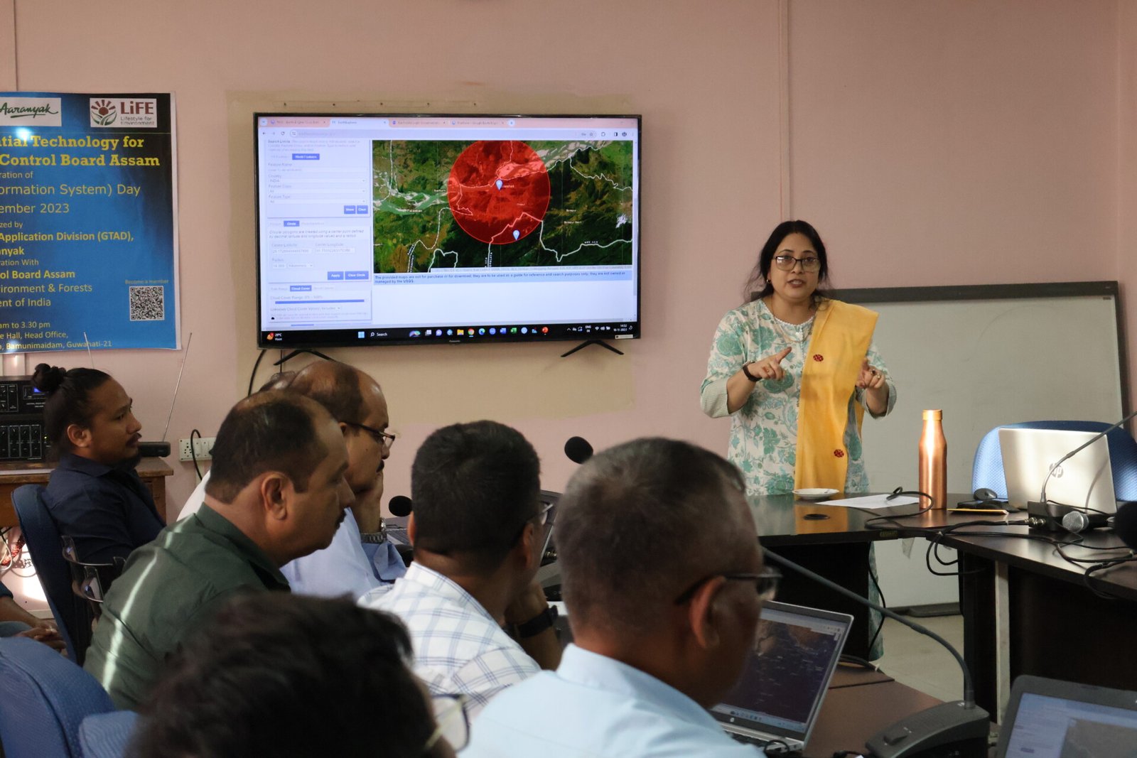
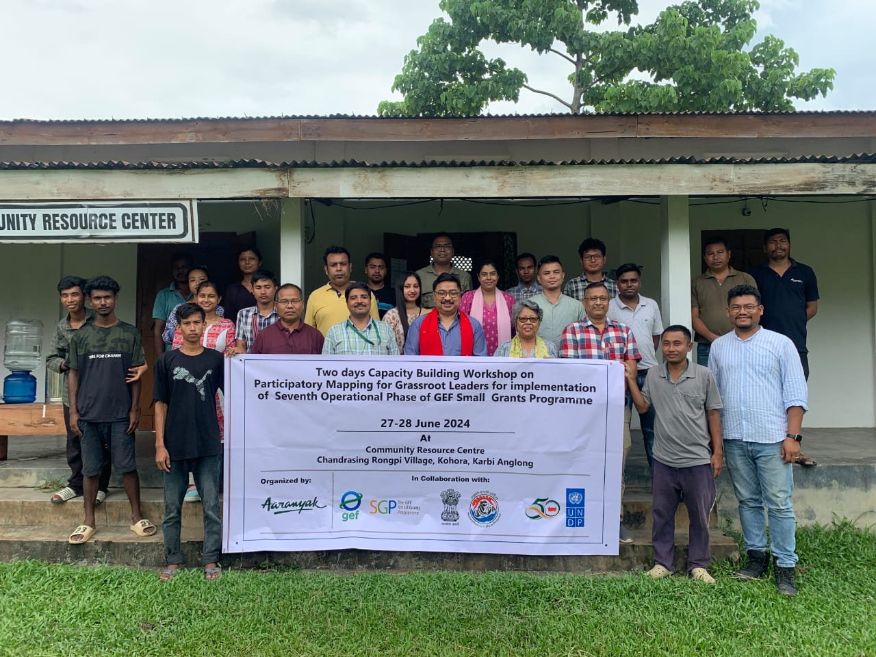
GUWAHATI, Nov 29: A three-day training workshop on building the capacity of GPS and GIS was organised by the Geospatial Technology and Application Division of Aaranyak and the GEF Small Grants Program (SGP) for representatives of community-based organisations supported by SGP India, in collaboration with The Energy and Resources Institute (TERI), at the Extension Education Institute (NE Region), AAU, Khanapara.
The inaugural session of the workshop was graced by Dr Dipankar Saharia, senior director – Social Transformation & Strategic Alliance, Administrative Services and Regional Centers of TERI; Dr Bibhuti Lahkar, program secretary of Aaranyak; Prof Jagannath Ambagudia, campus director, TISS Guwahati; Manish Kumar Pandey, national coordinator, SGP, TERI; Nandita Hazarika, SGP-OP7; Mridusmrita Devi, head of operations, Aaranyak, and the SGP team of TERI.
The invited guests spoke on the relevance and importance of GIS/GPS for effective field data collection. The first technical session, ‘Introduction to Maps & Map Elements’, was conducted by Arup Kumar Das, course coordinator and senior manager, Geospatial Technology and Application Division of Aaranyak, followed by sessions on ‘Introduction to GPS’ and ‘Open-Source GIS Software’ by Madhumita Borthakur, assistant manager; Avishek Sarkar; and Shivani Khalote, GIS analysts of the Geospatial Technology and Application Division, Aaranyak.
The participants were acquainted with GIS data preparation in Google Earth Pro software. On the second day, the Aaranyak team guided the participants in proper GPS field data collection at Amchang Wildlife Sanctuary, with support from Parineeta Singh, range officer, Amchang Wildlife Range, and the Guwahati Wildlife Division.
The field visit was followed by field data download and visualisation in open-source GIS software, including QGIS, Basecamp, and Google Earth Pro. On the third day, GIS data preparation, basic editing, and map layout were performed through hands-on sessions.
The closing ceremony was attended by Dr Vibha Dhawan, director general, TERI; Dr Bibhab Kumar Talukdar, secretary general & CEO, Aaranyak; Dr Bordoloi, director, EEI; and Dr Dipankar Saharia.
After receiving feedback from participants, Dr Dhawan spoke on the critical need for tools like GPS and GIS in the field of nature-based solutions with community support. Dr Rajumoni Bordoloi highlighted the importance of an interdisciplinary approach to conservation and the role of GIS/GPS in this field, while Dr Talukdar shared the history and rationale behind the foundation of the Geospatial Technology and Application Division of Aaranyak and its support for various organisations. The training concluded with the distribution of certificates to all participants.


