HT Digital
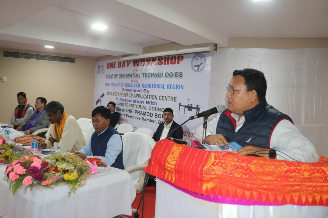
GUWAHATI, Nov 25: In a significant move to enhance the integration of advanced satellite technology in the state’s developmental projects, the Assam Cabinet has designated the Assam State Space Application Centre (ASSAC) as the nodal agency for Remote Sensing, GIS, GPS, and drone surveys, Chief Minister’s Office (CMO) announced on Monday.
Highlighting the importance of the initiative, the Chief Minister’s Office on the micro-blogging site X stated, “ASSAC’s designation as the nodal agency will ensure the use of proper satellite technology in the State’s developmental efforts.”
ASSAC has also been incorporated into the PM Gati Shakti framework, which will facilitate data sharing, the establishment of standards, and the creation of a geospatial policy framework for Assam.
Additionally, the agency will work in coordination with the state government, ISRO, and NESAC to drive space technology projects aimed at improving efficiency and accuracy in planning and implementation.
Meanwhile, ASSAC’s integration into various departments is expected to reduce project delays and costs while ensuring higher efficiency in sectors like agriculture, infrastructure development, disaster management, and more.


